Using Digital Maps for Rangelands Fire Management
|
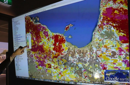
The use of spatial (map) information to map, monitor, assess and report is key to informing strategic fire management planning and response operations; to maximise long
term environmental and economic benefits, and to minimise detrimental impacts. Using map data in the fire season GIS and rangelands fire management Mapping hotspots and burnt areas |